Photo above: Manek Dubash
The Lambourn valley branch line today
Despite the efforts of house and road builders (primarily) to wipe out all traces of the Lambourn valley branch line, they have not been totally successful. While the northern end of the line towards Lambourn has admittedly been almost completely obliterated, there remains a walk along almost the all the rest of the line north of Speen.
Join us as we trace what's left of this brave little enterprise, whose lifespan is now shorter than the distance in time since it closed.
Join us as we trace what's left of this brave little enterprise, whose lifespan is now shorter than the distance in time since it closed.
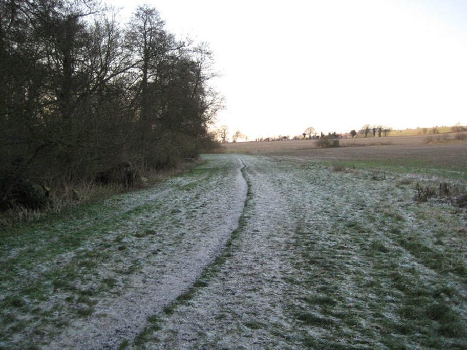
West Fields to Boxford
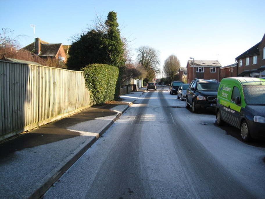
Long before the houses were built here, in the West Fields area of Newbury, this was the point at which the LVR crossed the alignment of the road - or to be a little more precise somewhere near the greenery on the left. A short distance away to the left was the site of West Fields Halt.
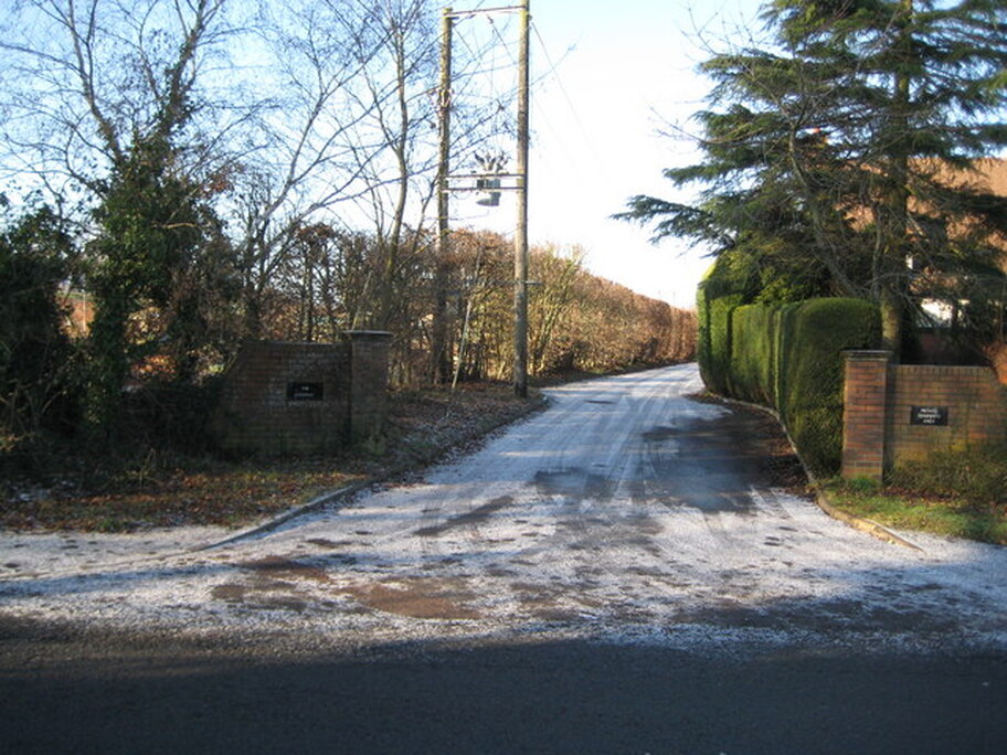
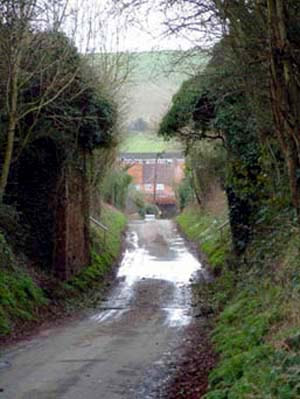
Speen station opened in 1898 and closed in 1960. The driveway follows the course of the old railway and the station was on the left where the sunlit hedge is now. The driveway leads to a new private residential estate somewhat tweely called "The Sydings" and odd because contemporary map and photographic evidence shows that of all the accoutrements of railway infrastructure a siding, yet alone more than one, was never warranted here.
If you could walk a little further along the old alignnment, you'd arrive here, looking back on Speen station.
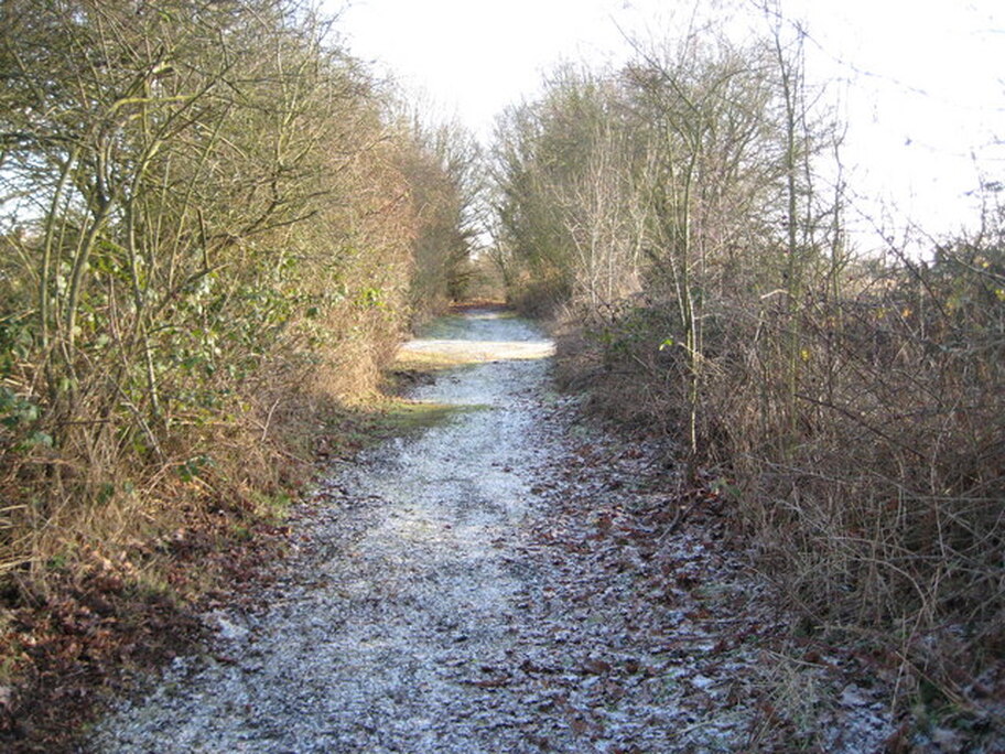
There were plans to preserve the line as a heritage steam railway, but they did not come to fruition and now any new similar proposals would have several major civil engineering feats to overcome, not least how the line would now cross the new A34 Newbury bypass which is immediately behind the photographer here.
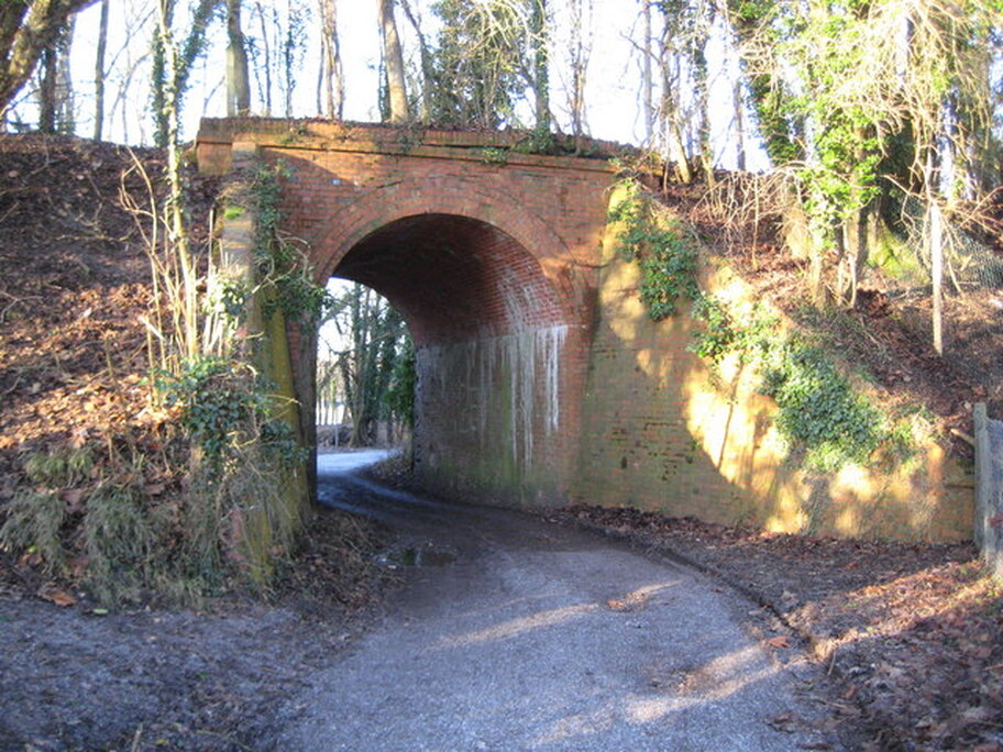
This bridge used to carry the former LVR over Moor Lane. The route of the Lambourn Valley Way long-distance footpath takes it through the bridge.
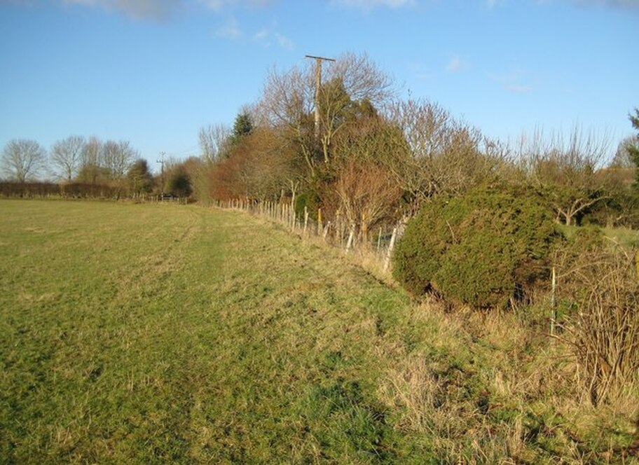
Stockcross & Bagnor
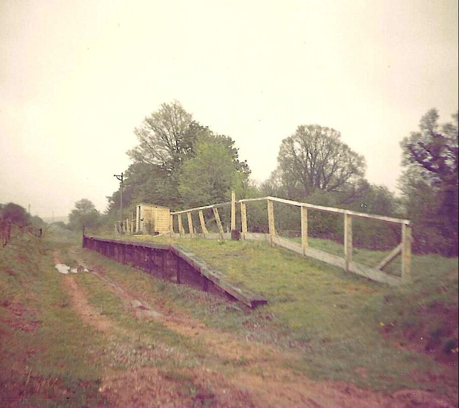
The raised area on the left of the former trackbed is the platform and all that remains of the former Stockcross & Bagnor station, which opened in 1898.
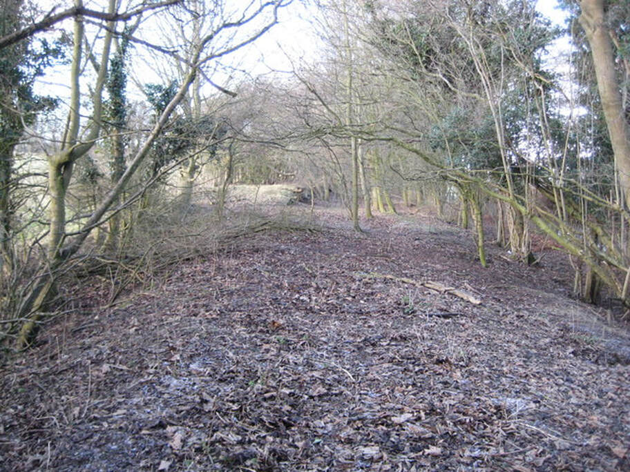
Boxford
The now-peaceful site of the station at Boxford is over the fence at the corner of the field in the distance.
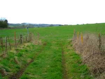
The trackbed at Easton, which must be one of the very few settlements that the railway passed through that did not have a station!
The scenes above were captured almost 50 years to the day after closure of the line to regular passenger and goods traffic.
Words and all images above: Nigel Cox (flickr), January 2010.
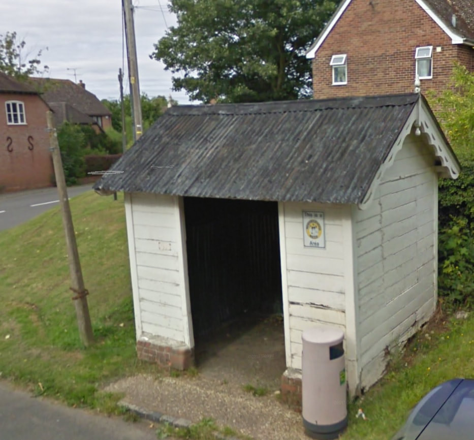
The original LVR station shelter survives as a bus shelter in the village of Boxford. Photo: Google Maps
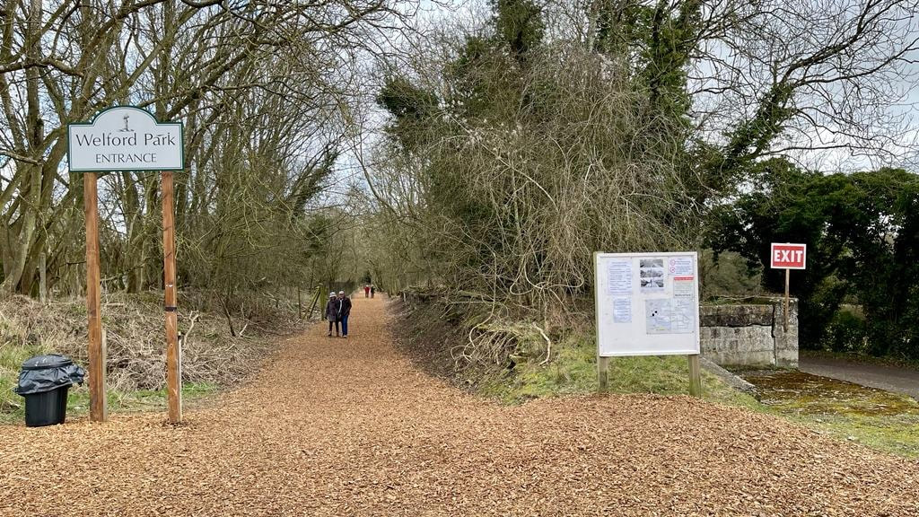
Welford Park
Very little now remains of the former Welford Park station. The area where the track and sidings were once laid is now a large car park. Visitors now park here each year, when calling to see the glorious display of snowdrops in the grounds of Welford Park House.
|
|
|
|
|
Compare this image, taken in 2022, of the platform to that above right, which is around 20 or so years older. Photo: Paul Stone
Welford Park in 2022. Photo: Chris Leigh
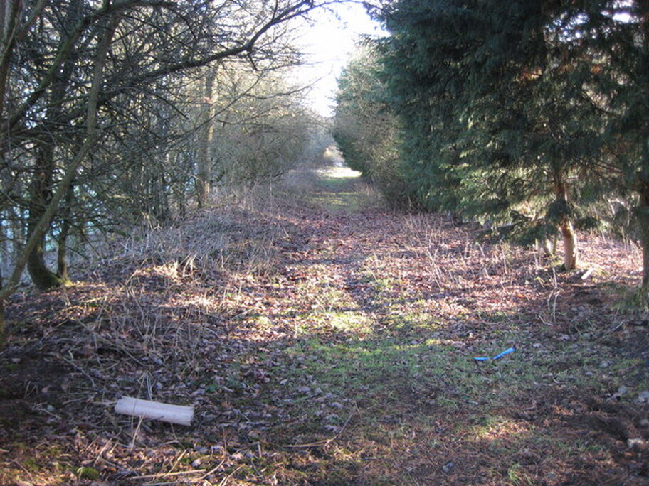
Great Shefford
The village hall occupies the site of the entrance to Great Shefford station.
This is the LVR trackbed, looking away from the site of the station, towards Lambourn, across an area that had a goods siding. The footpath leads to East Garston.
Words and the two images above: Nigel Cox (flickr), January 2010.
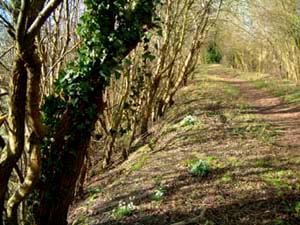
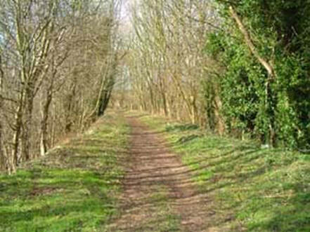
East Garston to Lambourn
On 22nd February 2002, this site's originator, Ken Tarbox, set out to discover what hidden treasures, if any, could still be found along the old route. His start and finish points for this particular walk were All Saint's Church East Garston and Bockhampton Crossing respectively.
|
|
|
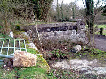
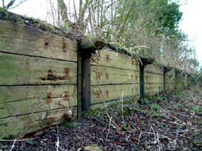
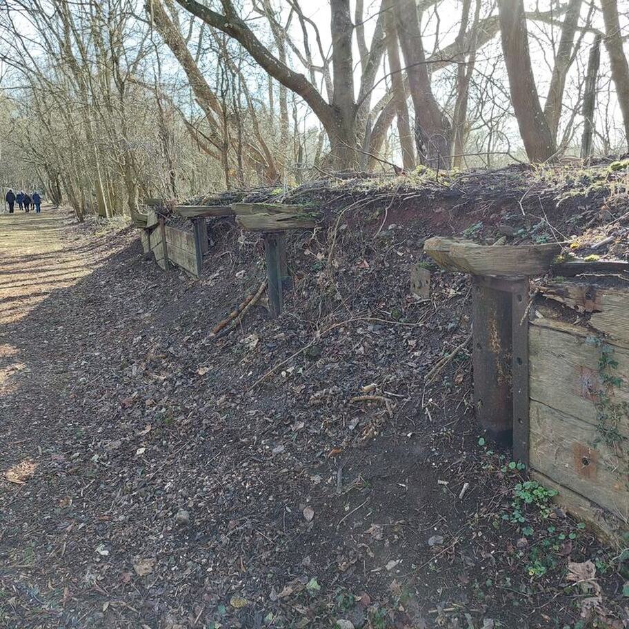
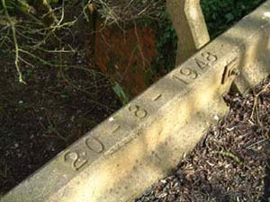
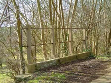
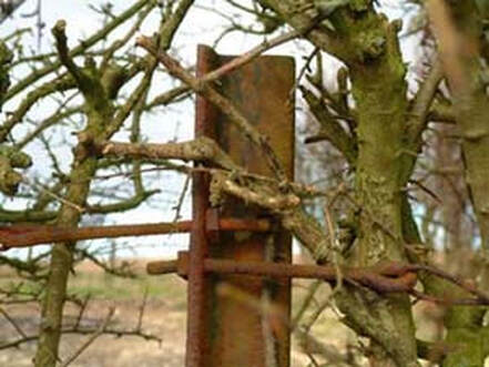
On leaving the church, the embankment curves gently to the left passing two hefty metal posts, possibly the remains of the upright part of a loading gauge or signal. Halfway round the curve is a somewhat overgrown, but virtually intact, brick and concrete bridge.
|
|
|
|
|
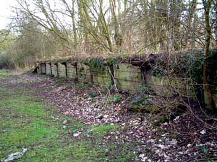
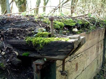
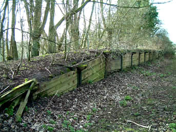
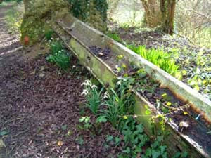
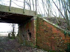
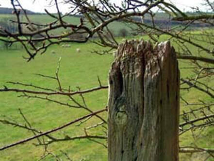
The sturdily built railway fencing of that era still stands today and indeed some of the actual track is still working for its living, although not in the way that was originally intended.
|
|
|
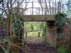
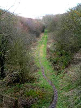
Leaving the bridge and heading towards Eastbury, the curved embankment runs gently down to ground level. A hundred yards or so further on, the remains of a cutting becomes evident.
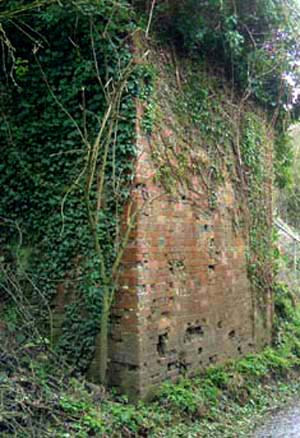
The remains of Eastbury. Photo: Chris Leigh
Eastbury to Lambourn
|
|
Beyond this point, the footpath narrows dramatically and the old track bed has been absorbed into gardens and overbuilt with houses. It reappears briefly and on these occasions, is clearly defined by the continuance of the old railway fencing and hedgerows that now follow its former route. Just past the old site of Eastbury Halt, it stops abruptly.
The route of the line from Bockhampton Crossing into Lambourn is visible only by the hedgrows along its length, but nothing material remains between here and Lambourn.
The route of the line from Bockhampton Crossing into Lambourn is visible only by the hedgrows along its length, but nothing material remains between here and Lambourn.
Lambourn station
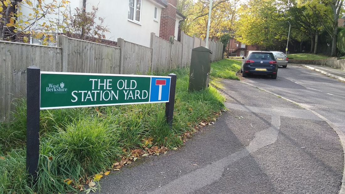
The area that once was Lambourn Station was for a while a small industrial estate, with traces of the station buildings still visible until the 1980s.
It is now, in 2019, a housing development and, apart from the use of the name Old Station Yard, all traces of the station have been obliterated. Photos above & right: Manek Dubash
|
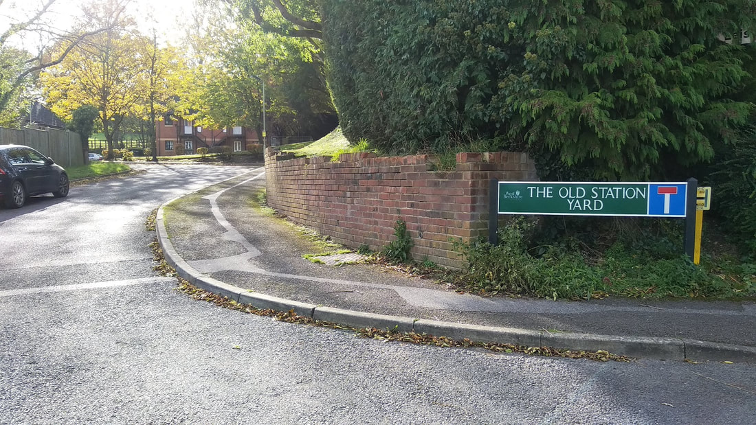
However, it is still possible to trace much of the route using Google Maps. Start with the second photo on the this page as your guide, and, with Google Maps in satellite mode, you can quite easily pick up the trackbed's path perpendicular to the A34 to the north-west of Newbury. Locate Speen and a road called The Sydings (yes) which heads parallel to Lambourn Road and the trackbed is clearly visible for most of the line's length until you get to Lambourn itself.
|
Find more info and images on Nick Catford's excellent Disused Stations website.
Walking the line
Berkshire County Council has published a pamphlet (scroll down to find Lambourn Valley Way) about a walk that closely follows the path of the LVR. It includes this image:

You can find images taken of the route as it is today around East Garston on Beautiful England's website here.
Next stop: Stations & Crossings: Lambourn
Next stop: Stations & Crossings: Lambourn
